Paddling to Neck Bridge


The Old Road to Concord is shown diverging at the bend in present-day Neck Road and crossing the Nashua River before intersecting with the Ancient River Road to Groton. This first location for Neck Bridge was said to be near the site of a ford and fish weir used by the Nashaway (Native American) people.
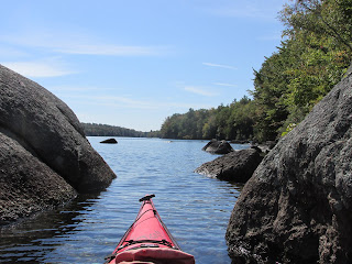
So, with the (above) map in hand I launched into the Nashua River from the canoe launch at Seven Bridge Road and paddled upriver curious to see if anything remains of the old road and bridge. The weather was cloudy with some drizzle and fog...and thanks to all of our recent rainfall, plenty of water was flowing in the river.
I reached the point where the river divides into several different routes around an island. One route leads to the appropriately named Dead River...

After finding the least obstructed route leading upriver from the convergence with the Dead, I soon found myself in the area where I believed the original bridge may have been located. A stately sycamore stands along the shore...

Feeling close to the desired spot I briefly went ashore on the river's west bank in search of the Neck Bridge sign (at the bend on Neck Road) and found it with the help of my binoculars...

Once back on the river I crossed to the eastern side and looked for any signs of what was once a "main thoroughfare". What I found were several wood posts like this one...


In this vicinity is a slough running parallel to the river, and might be the Ancient River Road to Groton shown on the map...

This tractor trail also parallels the river's eastern shore and heads in a southerly direction...

The only one around with whom to discuss these findings was this bufflehead duck...

After checking out the area, I returned to my boat and headed upriver passing all three possible bridge locations to the "Meeting of the Waters" where the fog was found to be getting thicker...


Large sycamore trees were also noted at Seven Bridge Road, Center Bridge, and the Sprague Bridge leaving me to wonder if such trees were planted at bridge locations in Lancaster. This one stood not far from Center Bridge...

For some reason this stretch of the Nashua seems well-suited for trapping significant amounts of plastic flotsam behind snags etc.. I gathered up these, but hardly made a dent...


Comments
Post a Comment