Posts

Showing posts from February, 2019

A Fairhaven Farewell

Image
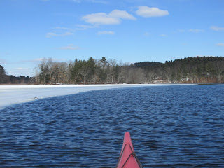
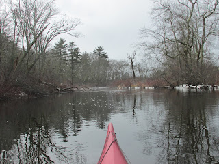
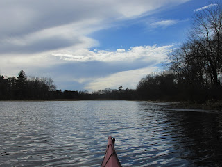
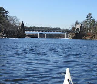
Paddling towards Scout Island across a half frozen Fairhaven Bay seemed a fitting final voyage for a vessel that had never failed me. Of the two boats I paddle, it was the one that did most of the heavy lifting and dirty work. Over the past 13 years it had hauled everything I'd asked it to from all manners of aquatic trash to my camping gear.  Its manufacturer labeled the boat "Squamish", a name which conjured-up images of salmon-filled rivers flowing through cedar forests in the distant Pacific Northwest.  Constructed of rotomolded plastic it was anything but dainty and gladly bounced off rocks, ascended beaver dams, and slid across gravel bars whenever asked to.  However, as is often the case, Father Time eventually extracted his toll and a dignified retirement for this old friend is now called for. So on a sunny late February day with temperatures in the 40's my Squamish and I pushed-off from the shore at Sherman's Bridge one last time and headed down the

Charles, Stop, and Devilsfoot

Image
Springlike conditions drew me out for some exploring on the Charles and Stop rivers today.  Paddled upriver from Dwight's Bridge to Shattuck Reservation encountering this curious mink along the way... Then went downriver to the confluence with the Stop River and ascended it towards Noon Hill... ...not knowing if passage beneath Causeway Street would be possible.  Upon reaching the bridge  I found both portals free of debris and open for business... Passed some vertical roots... ...and shortly approached Devilsfoot Island... ...where stone ruins... ...allow one to envision the small cabin that once occupied this idyllic spot. On my return to Dwight's Bridge this bluebird was encountered...  

Could it be?

Image
Yesterday the rain stopped and the clouds parted just as predicted by the weather forecasters.  Some of the cloud formations looked to be rolling away... Then came the predicted lull when temperatures reached into the mid to upper 40's as sunshine gained ground for several precious hours before the winds began to build. Surprisingly I found open water after launching my boat into the Assabet River from Magazu's Landing and heading upriver.  It was open up to Lake Boon's outlet... ...and to Fort Meadow Brook... ...though box-culvert headroom was less than required for passage. I later went downriver and checked the large/shallow area between Gardner Hill and Crow Island... ...and found it mostly free of ice. Wildlife were also enjoying the warm sunshine such as this blue heron... ...and this dining musquash... Taking flight in sync were this pair of swans... ...while a red-tailed hawk enjoyed a sunny perch... Came across a ducky race entran

Eagle Island On Ice

Image
The white line across the Merrimack River's surface beyond the Chain Bridge put an end to my thoughts of riding the incoming tide to the Powwow River in Amesbury.  Actually it was a bit surreal seeing so much ice with the air temperature approaching 60 degrees F and bright sunshine (for a second day in a row). Seeing the ice helped to insure I'd have no regrets in being dressed for possible immersion. So I turned towards Eagle Island where I hoped to find a place to land my boat... Along the way I passed what looked to be a rooster sitting on a navigation buoy... A closer look showed it to be some rather thick ice... Landed on Eagle Island at the top of the tide... ...and it made a fine spot for taking my lunch and stretching my legs.  In walking a perhaps 100 foot radius around my boat a fair amount of plastic trash was gathered up.  The more I looked the more I found including 14 Hooksett Disks.  It's almost 8 years since somewhere between 4 and 8 milli