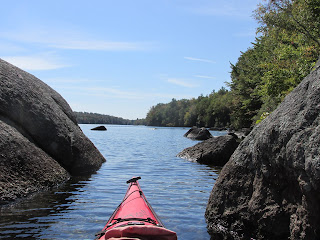
Reimagining historic waterways while navigating them by kayak.
Bottle with a Message
Get link
Facebook
X
Pinterest
Email
Other Apps
I have recently re-activated my original blog, Trashpaddler and will place trash-themed posts there. This post concerning the message in a bottle found on the Assabet River can be found here.
This past Friday delivered perfect conditions for exploring Nubanusit Lake and Spoonwood Pond's combined 718 acres located amidst the hills of Hancock and Nelson, New Hampshire. The two bodies of water at an elevation above 1300' are joined at the hip so to speak, with a very short portage from one to the other. They comprise the headwaters of Nubanusit Brook which flows down through Harrisville to Peterborough and the Contoocook River at an elevation below 700'. I've long wanted to explore Nubanusit, perhaps due to its Native American name the meaning of which nobody seems to know for sure. Some say it means "at the place of gently sloping banks", others say "small summer place", or "little waters". However, the interpretation I favor is from C. Lawrence Bond in his Native Names of New England Towns and Villages . Bond offers Nubanusit as meaning "at the wing shaped (pond)", showing "nuppoh" as the Native A...
"Eden of the Kennebec, - perhaps the Eden of Maine" were the words author and historian Justin H. Smith used to describe the section of the Kennebec River between Norridgewock Falls and Caratunk Falls. I came across his intriguing (to me) description in his 1903 book Arnold's March from Cambridge to Quebec. Smith's description combined with my desire to see first-hand the Native American petroglyphs on "Indian Rock" in Embden had me looking for a boat launch and campground along that stretch of river. Luckily I found both at the Evergreens Campground in Solon, ME... ... where this sign lets visitors know just how long folks have been setting up camp there... Evergreens' location is ideal being right on the Kennebec's eastern shore, about a mile below Caratunk Falls. It's almost directly opposite from the petroglyph site and, according to the owners, some of Benedict Arnold's 1100-man expedition also camped here on their wa...
The day was cool, cloudy, and showery as I paddled against the Ware River's steady current this past Monday morning. My motivation to paddle this stretch of river resulted from reading Our Beloved Kin: A New History of King Philip's War by Lisa Brooks in which she places her three main historical characters at Menimesit, a Native American (Nipmuc) stronghold. In the 1675-1676 time period Menimesit consisted of three separate villages along the eastern bank of the Ware River in New Braintree, Massachusetts. I'd previously paddled to where the "upper village" was located in Barre, MA, but the other two villages (lower and middle) had thus far eluded me. In another book, King Philip's War: The History and Legacy of America's Forgotten Conflict by Eric B. Schultz and Michael J. Tougias the authors refer to this historical place as follows: "Menamesit (sometimes Wenimessit) was perhaps the most important Native American military site of the wa...


Comments
Post a Comment