The Little Bridge At Last


At the second encounter I'd surprise myself (and maybe them) by correctly remembering their names, Frank and Earl of the Rhode Island Canoe and Kayak Association.
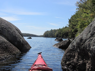
Following their heads-up I ascended a few more beaver dams such as this one...

...before finally reaching the bridge and going ashore to check it out. The photo below looks across the bridge and southeast towards Royalston...

After looking around a bit I couldn't help but wonder if the bridge had once served Model Ts and horse and buggies rather than just today's mountain-bikers and trail hikers. This view is looking northwest towards West Royalston...

In checking old maps of the area I found this 1946 map showing Warwick Road, which connected Royalston with West Royalston, as having passed along this route prior to the completion of Tully Dam in 1949 (a U.S. Army Corps of Engineers Flood Control Project) ...

Consequently a 1954 map of the same spot shows Warwick Road as having jogged to the north in order to avoid the dam's floodplain...

The maps show a building once stood near the spot, and according to The History of the Town of Royalston by Lilley B. Caswell "the first tavern opened in West Royalston was located a few rods east of the first bridge that spans the quietly flowing Tully above Long Pond, where Mr. Elisha Rich built the first house in that part of the town."
The maps also show a cemetery a little ways to the east which, according to Caswell, is known as the "Under the Hill Grave Yard" dating back to 1764.
The Rev. Albert Bryant wrote of this cemetery:
"To the grave yard come, below the hill,
When the cares of a busy day are still;
And spell from broken stones the names
That kindled Freedom's holy flames;
The dewey pines a hundred years
Have wet the ancient mounds with tears."
"Though breaking day its splendor weaves
Along a million pointed leaves;
Or moon-beams o'er the solemn wood
At evening draw their shining hood;
No light, at morn or evening, shines
Upon the graves beneath the pines."
After enjoying a fine autumn day on the water I encountered Doug and his interesting watercraft at the takeout...


Comments
Post a Comment